python drawing | IPCC-AR6 latest climate zone mask example
Use regionmask mask
regionmask is a library specifically used for geospatial masks in Python
When selecting the mask area, the regionmask can be divided into the following methods:
- The regionmask itself defines geographic regions commonly used in scientific literature, including Giorgi, SREX and AR6
- Use the data provided by NaturalEarth to extract countries or land areas
- Use area in numpy or xarray
- Use shapefiles to mask the area of interest
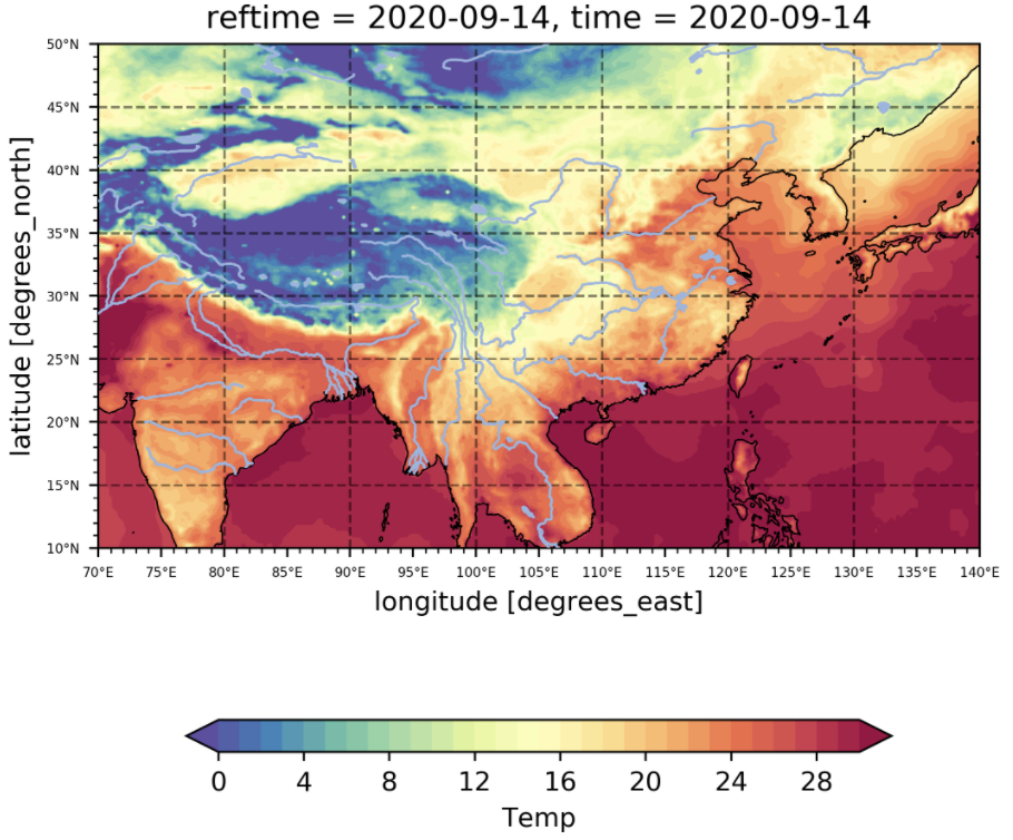
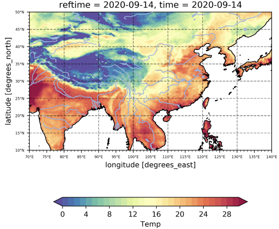
Sample data

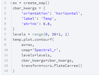
Simple visualization of data
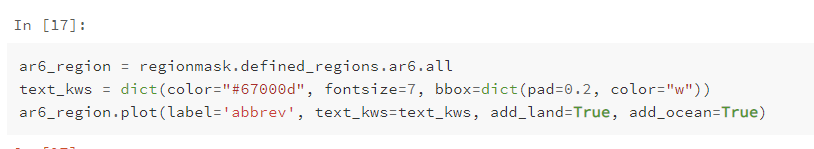
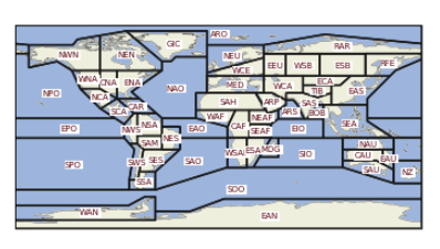
AR6 Mask Geographical Partition
People doing scientific research may be more interested in the geographical divisions commonly used in scientific literature. For example, the latest AR6 division divides the world into 58 geographical regions. See the following for specific divisions:
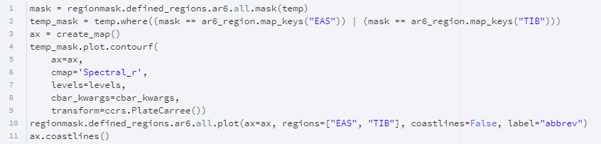
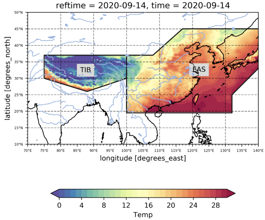
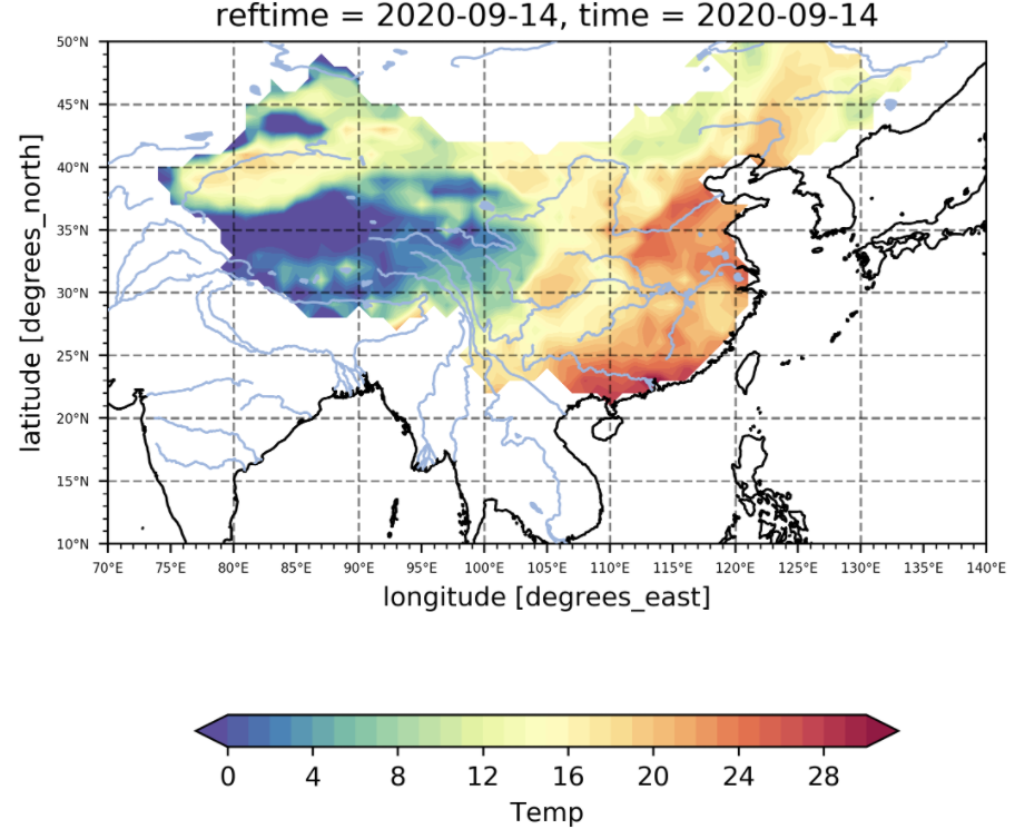
Next, use AR6 partition to mask the data, select EAS and TIB among them as the research area, and mask other irrelevant areas
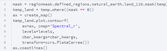
Natural Earth Mask Sea and Land
The natural erath land information preset by the regionmask is used to extract relevant values to achieve the role of masking the ocean, but the resolution here is only 1:110, which is relatively rough.
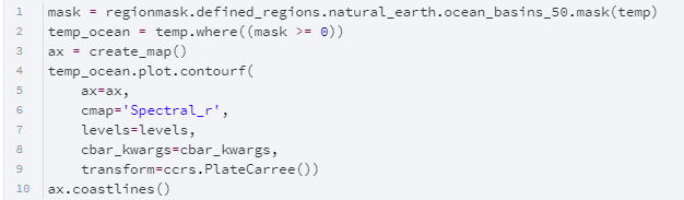
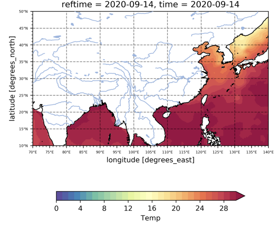
Use the natural erath sea basin information preset by regionmask to extract relevant values to achieve the function of masking the land. The default resolution is 1:50.
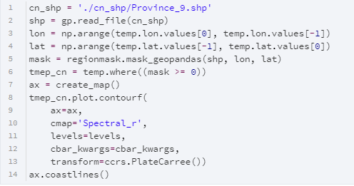
Custom shp for masking
The above are only sample codes and pictures. To get the complete code, please reply "regionmask" in the background of the Curiosity Log public account.